What we did today
Hi Becca, this is for you so you can find us on your map.
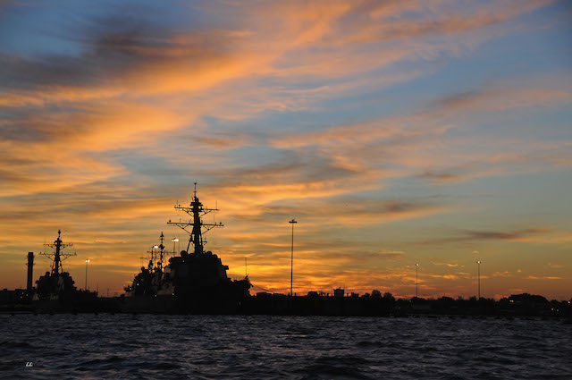
We got under way before sunrise (so that we could make a draw bridge opening and then the lock opening) and motored through Norfolk VA past the Navy ships as the sun was just turning everything pink.
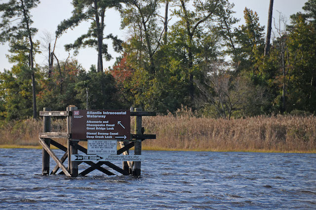
We went through a draw bridge then turned right into the Dismal Swamp. The Intracoastal Waterway is to the left…the swamp and waterway parallel along here and the swamp ends at Elizabeth City. From there we will go into the waterway.
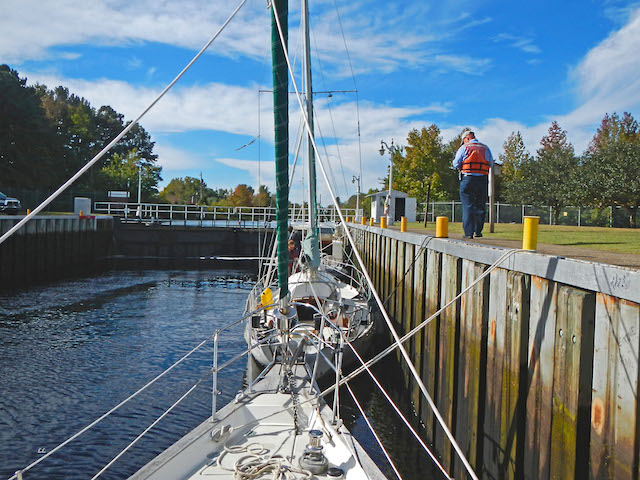
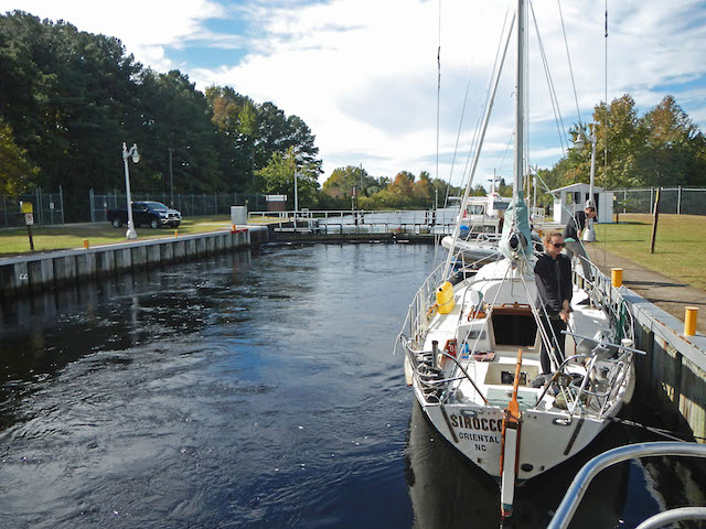
We motored down the Dismal swamp for several miles to a lock.
This is looking forward in the lock
This is looking behind us in the lock
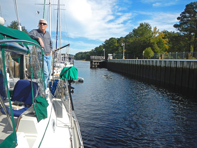
This is when the water had filled up the lock
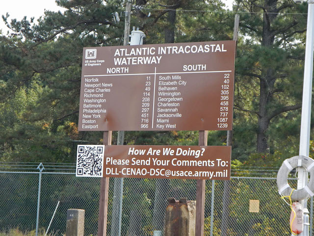
This sign was in the lock showing mileage from the lock to different cities.
Becca you can see Baltimore and Washington are north from where we are on the sign, they are the closest to you. And you can see Miami, that is how far south we have to go before we go over to the Bahamas.
After the lock we passed this Welcome to North Carolina sign….we’ve made it to North Carolina!!

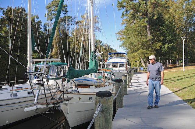
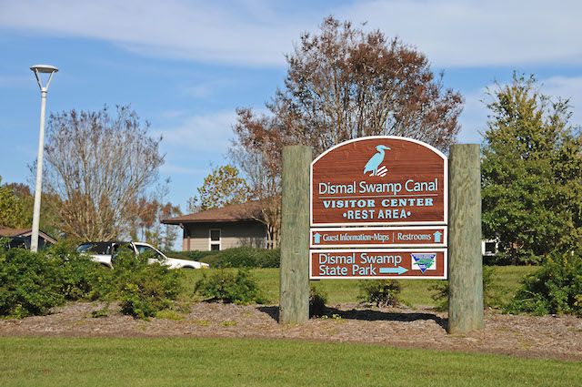
Now we are tied up at the Dismal Swamp visitors center for the night. It is actually a North Carolina visitor center along the highway but they have a dock and let boats tie up for free. We are rafted up with others that are going south too. So far there are 11 boats rafted together.
He quieted the sea with His Power
Comments are closed.

Hi Greg/Lyn,
We e-mailed you a picture we took of Paperbird entering the Dismal Swamp.
Enjoy your trip.
Tricia/Bill from s/v Island Bound
To Nana,
Thank you for explaining how the lock works. It was interesting! You still have a long way to go to Miami!
Are you having fun?
I love you!
Love,
Rebecca